
The Role of Deep Water Detectors in Marine Archaeology
Advancements in Geophysical Survey Technology
Water depth sensors have really changed how we do marine archaeology work these days. They give researchers a whole new perspective on what's lying beneath the waves thanks to those detailed maps they create under the sea. The tech behind this progress includes some pretty impressive geophysical tools like multi beam sonar systems and side scan sonar equipment. With multi beam sonar, archaeologists get full three dimensional pictures of the seabed surface. Side scan sonar works differently but just as effectively it scans large sections of the ocean bottom and picks up strange shapes or objects that could be remnants of ancient civilizations. These modern techniques help experts spot and study underwater structures much better than before, which means field expeditions can focus their efforts where they matter most without wasting time searching randomly.
We can see how technology is changing things when we look at all the new archaeological sites being found recently. Marine researchers have been talking about this for years now. They say that equipment like multi-beam and side-scan sonar makes finding underwater sites much easier than before. These tools let us spot places that were either too deep or just plain missed until recently. Take the University of Southampton for example. Their team actually documented quite a few new finds after starting to use these advanced scanning methods. What's interesting is not just how many sites they found, but what condition those sites were in. This kind of information really helps historians piece together stories about ancient civilizations. As these tools keep improving, we'll probably continue discovering more hidden pieces of history beneath the waves.
LSI Applications: From Sewer Cameras to Ocean Mapping
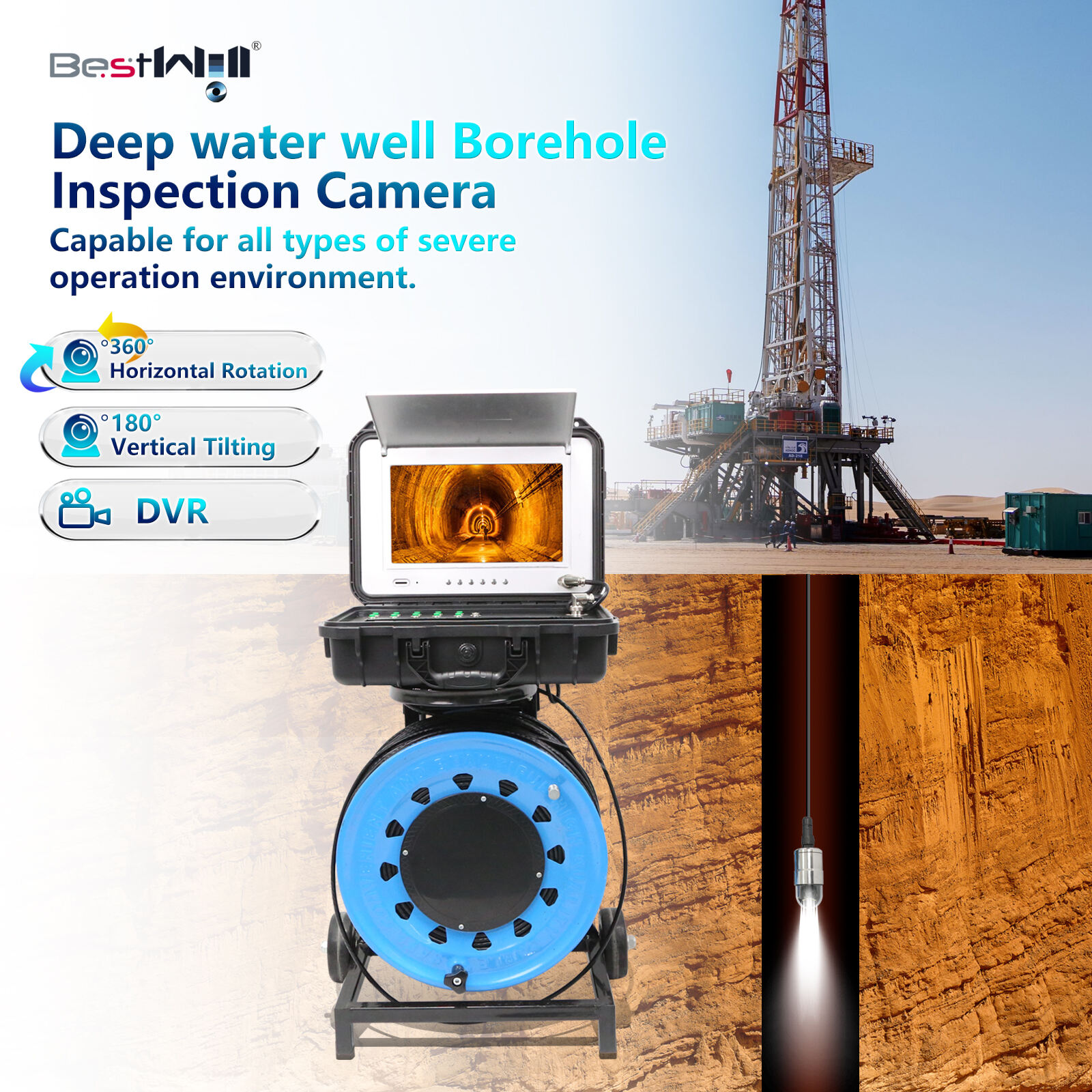
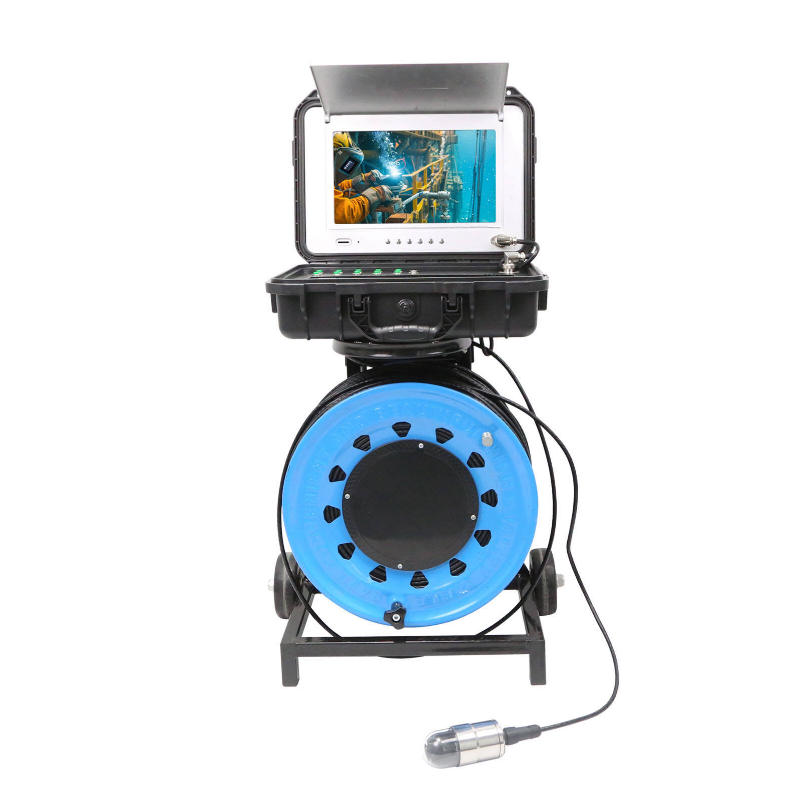
Sewer inspection tech originally designed for checking pipes and drains is now showing up in unexpected places like the ocean. The same cameras that snake through underground tunnels work surprisingly well in narrow coastal waters too. Marine researchers have started using these compact imaging systems to check out shipwrecks and other submerged sites where traditional equipment just doesn't fit. For archaeologists, this means getting detailed looks at ancient vessels resting on the seafloor without having to bring in expensive submersibles. Some teams have even discovered new wreck locations simply because they could finally see what was hiding beneath layers of sediment that bigger gear would stir up.
The latest inspection tech has gotten really good at creating detailed maps of the ocean floor, helping find all sorts of old stuff and underwater buildings. Marine archaeologists now use improved versions of those sewer cameras we see on TV shows to check out big underwater spaces and take pictures that show things humans never knew existed before. Think about it like this: just as plumbers look inside pipes for blockages, these upgraded cameras let researchers peek into every corner of the seabed where ancient artifacts and forgotten structures hide because they're either too deep or just plain hard to reach. What's interesting is how versatile these modified sewer cameras actually are. They're not just tools anymore but real game changers when it comes to understanding what happened beneath our oceans throughout history.
Neural Networks & Hyperspectral Imaging for Artifact Detection
Spectral Analysis of Submerged Archaeological Sites

Spectral imaging plays a major role when it comes to spotting the chemical makeup of things buried under water, allowing archaeologists to investigate underwater history without touching anything. When scientists look at how different objects reflect light across various wavelengths, they get clues about what those objects are made of and where they might have come from. Recent work published in Marine Archaeology shows just how effective this approach can be. Researchers used hyperspectral data to match certain light patterns with known materials, which helped them locate several previously unknown underwater sites. What makes this technology so valuable is its ability to tell apart regular sea floor stuff from actual man-made relics hidden beneath. Many experts now consider hyperspectral imaging almost indispensable for protecting our submerged cultural treasures. It gives field workers all sorts of detailed info that's absolutely necessary if we want to keep these important places intact for future generations.
Deep Learning Models for Target Classification
Artificial neural networks are becoming really useful for sorting out artifacts by looking at how they look and what light they reflect, which is changing how archaeologists do their work. Deep learning systems handle complicated information to figure out what kind of artifact something is, its state of preservation, sometimes even when it was made. A study from the journal Artificial Intelligence in Archaeology shows that these algorithms make classification much better, so predictions happen quicker and with greater accuracy. Some tests actually found that neural networks got right over 90 percent of artifacts identified in mock underwater settings. When combining visual inspection with spectral analysis, these computer models let researchers check out sunken sites without diving down themselves, cutting back on risky human operations in tough underwater spots. Marine archaeology has definitely moved forward thanks to neural networks, giving experts far better ways to spot and categorize underwater relics than ever before possible.
Regulatory Frameworks for Underwater Exploration
BOEM's Archaeological Reporting Requirements
The Bureau of Ocean Energy Management, or BOEM for short, has put in place certain rules about how archaeological checks should be done when people explore under the sea. These rules really matter because they help make sure that anyone diving around doesn't accidentally destroy important parts of our ocean history. When following BOEM's reporting standards, folks need to look closely at what might happen to underwater cultural spots during their work. Most of the time this means handing in some kind of report showing what could get damaged before any actual digging starts. This kind of planning helps keep those old shipwrecks and other submerged relics safe from harm. Sticking to these rules isn't just good practice it actually protects valuable pieces of maritime history so that divers and historians can study them long after we're gone.
Compliance with NHPA Section 106 Standards
Section 106 of the National Historic Preservation Act is really important when it comes to finding and protecting archaeological stuff during underwater work. What this part actually does is require people doing these projects to go through a detailed review process before they start anything that might damage culturally significant sites underwater. Take for instance the famous case where they found parts of the USS Monitor near North Carolina's coast - that was possible because of Section 106 requirements. When groups working on underwater projects follow these rules carefully and put real effort into preservation plans, they end up helping protect our shared history while still allowing exploration to happen. The guidelines set by NHPA create a framework where we can explore without destroying what makes these places historically valuable.
Pipeline Inspection Methodologies in Subsea Contexts
Adapting YOLOv4 for Underwater Infrastructure Monitoring
YOLOv4 has found new applications in monitoring underwater pipelines in real time, making inspections possible even where traditional methods struggle. What started as an object detection system has evolved into something quite useful for spotting pipeline parts under water with pretty good accuracy. Underwater inspections are tough business anyway, dealing with all sorts of problems from refracted light to murky waters, but YOLOv4 handles these issues surprisingly well. A paper called Deep Learning Approach for Objects Detection in Underwater Pipeline Images reported that this model hit around 94.21% mean average precision, which beats most competitors when it comes to quick detections. For companies maintaining underwater infrastructure, this means they can plan maintenance work more accurately and keep operations safer overall without relying on expensive divers or submersibles for every checkup.
Leak Detection Through Acoustic Machine Learning
Machine learning applied to acoustic signals is changing how we detect leaks in undersea pipelines, giving us much better sensitivity than traditional methods. Underwater sound waves remain the best option for monitoring because they don't disturb marine life while still carrying useful information. These signals get analyzed by complex computer programs that spot irregularities which might mean there's a leak somewhere. A study published recently in the Journal of Marine Technology showed promising results when researchers trained their models on actual acoustic data from pipeline systems. While these techniques definitely help find problems faster, they also reduce both environmental harm and costly downtime for operators. Looking ahead, continuous monitoring of pipeline health becomes possible thanks to these improvements, though implementing such systems across all offshore infrastructure remains a challenge for many companies concerned about protecting ocean ecosystems.
Emerging Technologies in Marine Resource Protection
Integration of IoT Sensors with Inspection Cameras

Putting IoT tech together with underwater inspection cameras is changing how we manage marine resources. These IoT sensors basically boost what sewer cameras can do, giving folks real time monitoring and sending data straight through so operators can react fast when needed. What this means for marine management? Well, it lets us watch drains and all sorts of underwater stuff much better than before. When we combine these two techs, operators get to keep an eye on ocean ecosystems from afar, spot problems way earlier than normal, and jump in with fixes before things get bad for sea life. Going this route helps maintain those green management practices everyone talks about, plus gives us way more detailed info about what's happening in our water systems.
Predictive Analytics for Site Preservation
Predictive analytics have become pretty useful for spotting problems before they hit underwater archaeological sites, so preservation teams can act ahead of time instead of reacting after damage happens. When we look at all the data collected from different sources, these analytical tools help spot things like gradual erosion patterns or unexpected human activity around sensitive areas that could harm historical sites beneath the waves. There's actually quite a bit of research showing how effective this approach has been across various marine environments. Take the Great Barrier Reef situation as one instance where predictive models flagged concerning changes long before visible signs appeared on the surface, giving experts precious extra months to implement protective strategies. While no system is perfect, these technological advancements definitely help protect our underwater heritage better than traditional methods alone ever could, and they push us toward more environmentally responsible approaches in managing oceanic cultural assets for years to come.
Table of Contents
-
The Role of Deep Water Detectors in Marine Archaeology
- Advancements in Geophysical Survey Technology
- LSI Applications: From Sewer Cameras to Ocean Mapping
- Neural Networks & Hyperspectral Imaging for Artifact Detection
- Spectral Analysis of Submerged Archaeological Sites
- Deep Learning Models for Target Classification
- Regulatory Frameworks for Underwater Exploration
- BOEM's Archaeological Reporting Requirements
- Compliance with NHPA Section 106 Standards
- Pipeline Inspection Methodologies in Subsea Contexts
- Adapting YOLOv4 for Underwater Infrastructure Monitoring
- Leak Detection Through Acoustic Machine Learning
- Emerging Technologies in Marine Resource Protection
- Integration of IoT Sensors with Inspection Cameras
- Predictive Analytics for Site Preservation